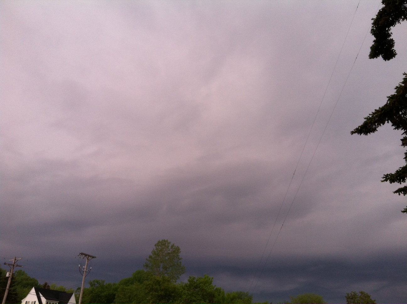
SHEBOYGAN COUNTY, WI (WHBL) - We have seen an active weather pattern over the past seven days, with several rounds of showers and thunderstorms rumbling through the area.
Friday will continue this trend with another chance of precipitation during the daytime and nighttime hours. The National Weather Service does have the area under a marginal risk for severe weather, meaning there is a chance for an isolated storm to produce winds over 40 miles per hour and hail up to one inch. The bigger concern will be heavy rainfall, as some locations could get around an inch of rain by Saturday morning. Be prepared for low spots to have standing water if this occurs.
Following the rain chances will be dry conditions for the weekend, but it comes at a price. Temperatures will be cooler as colder Canadian air will cover the state and winds will pick up from the northeast and cause a lake breeze to form. That will keep highs in the 50s and lows in the low 40s. The National Weather Service is not forecasting frost at this time over the next few chillier nights.